ABmilitaria
1941 map of Pomerania / Baltic Coastline
Couldn't load pickup availability
1941 dated, cloth-backed map of the region of Pomerania and the Baltic coastline, specifically around the towns of Greifenberg, Treptow and Wollin. All of this region was annexed by Poland after WW2 and the local German population was expelled. Printed by the Reich authorities in Berlin, it measures around 78.5cm x 66cm when unfolded. In good condition.
Materials
Materials
Shipping & Returns
Shipping & Returns
Dimensions
Dimensions
Care Instructions
Care Instructions
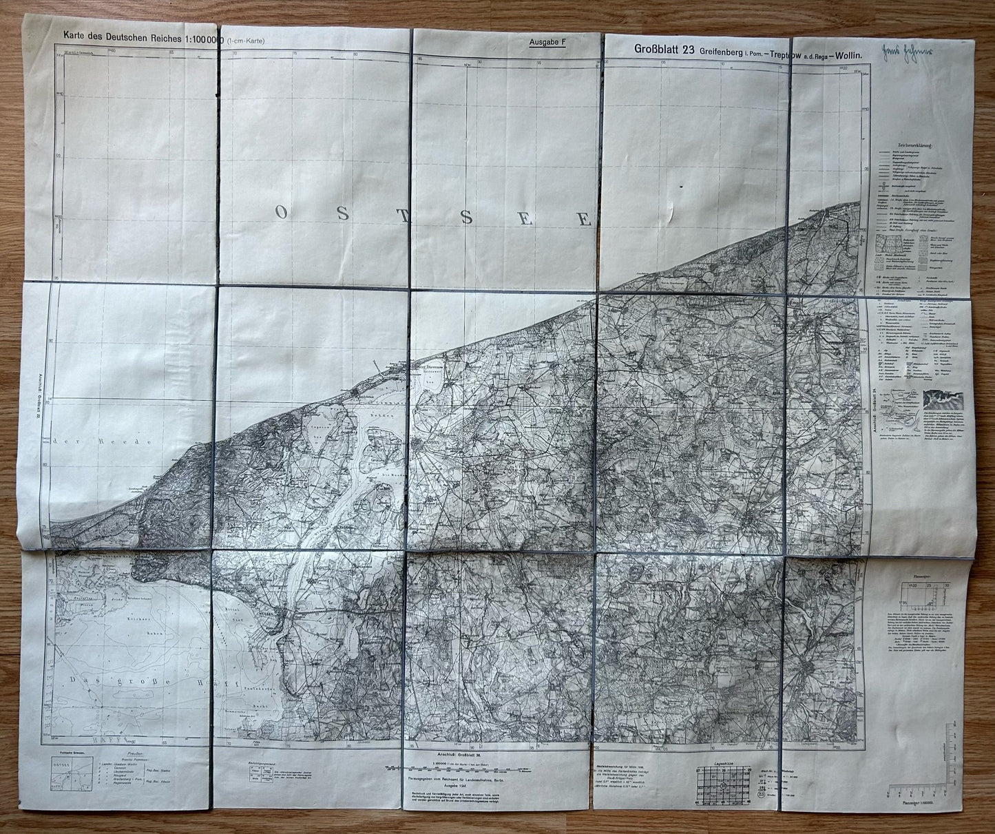
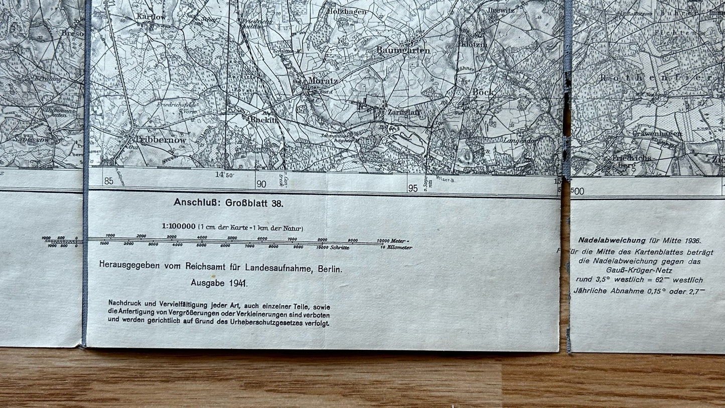
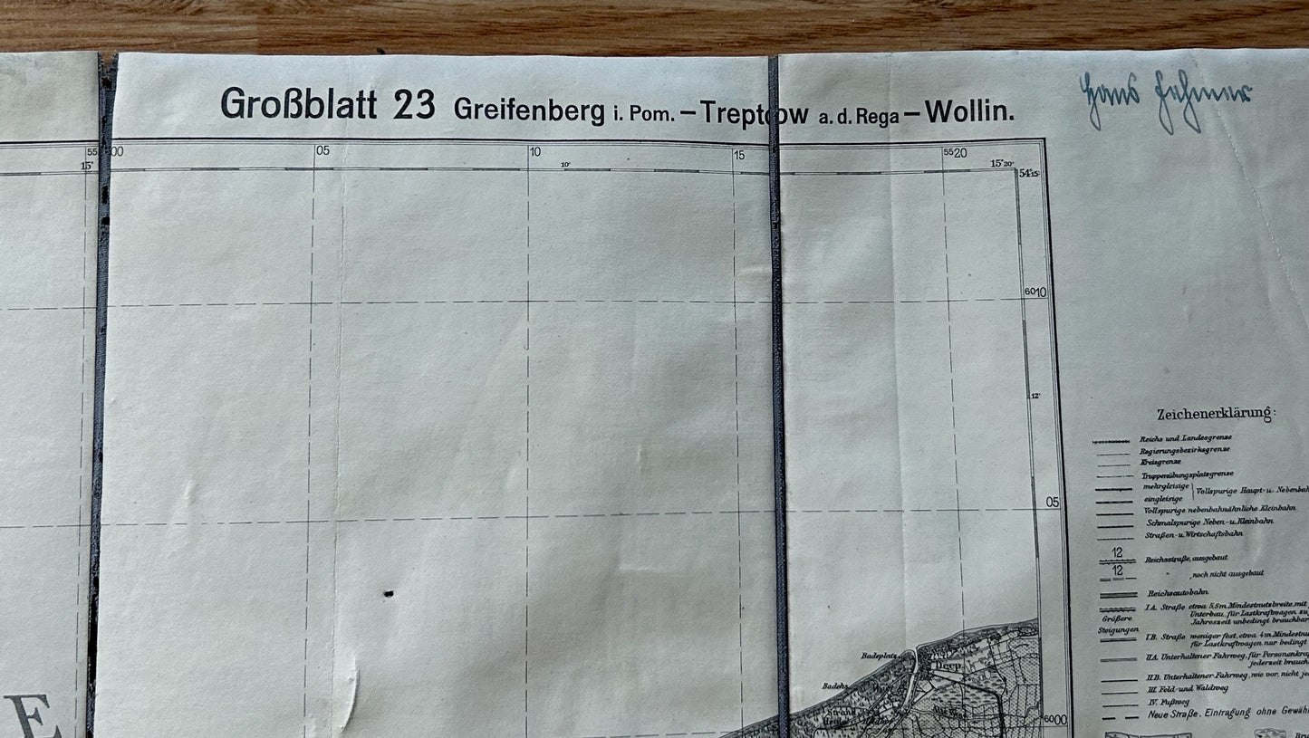
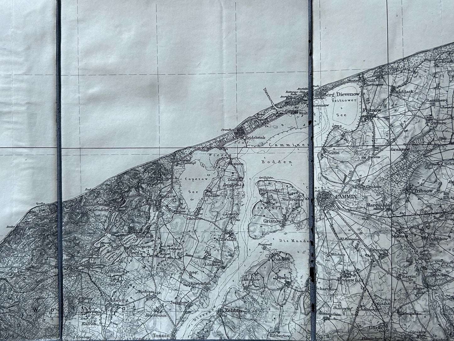
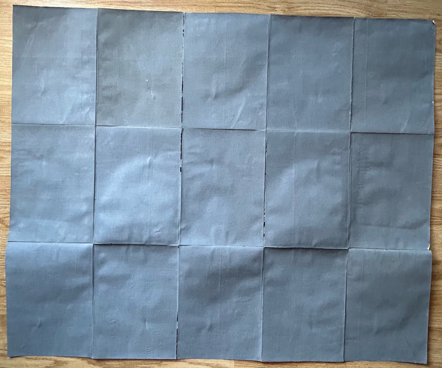
Image with text
Pair text with an image to focus on your chosen product, collection, or blog post. Add details on availability, style, or even provide a review.
-
Free Shipping
Pair text with an image to focus on your chosen product, collection, or blog post. Add details on availability, style, or even provide a review.
-
Hassle-Free Exchanges
Pair text with an image to focus on your chosen product, collection, or blog post. Add details on availability, style, or even provide a review.


